
Keep owners informed
Share a clear visual update with owners, lenders, and executives without adding another site walk to the calendar.
DFW construction progress documentation
Keep owners, project teams, and stakeholders informed with scheduled drone capture from repeatable viewpoints. Receive date-organized photos and stakeholder-ready progress reports within 24–48 hours of each flight.
No obligation. Tell us about your project and we will recommend the right capture schedule.
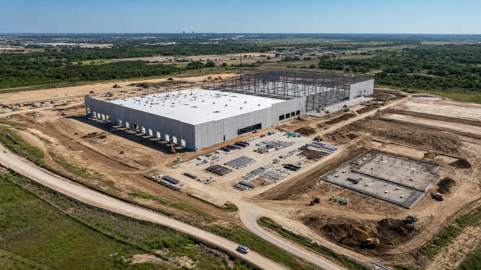
See the deliverable first
Review a sample progress report before scheduling a flight. See how repeatable aerial views, dated imagery, and concise observations can support owner updates, OAC meetings, pay applications, and closeout records.
Illustrative fictional sample. Project names, dates, observations, and imagery are simulated for demonstration.
One visual record
Sentinel turns recurring aerial capture into an organized project record your team can review, compare, and share.
Share a clear visual update with owners, lenders, and executives without adding another site walk to the calendar.
Compare familiar viewpoints across visits for progress meetings, pay applications, milestone verification, and project records.
Keep date-organized imagery available from groundbreaking through closeout when questions about past site conditions arise.
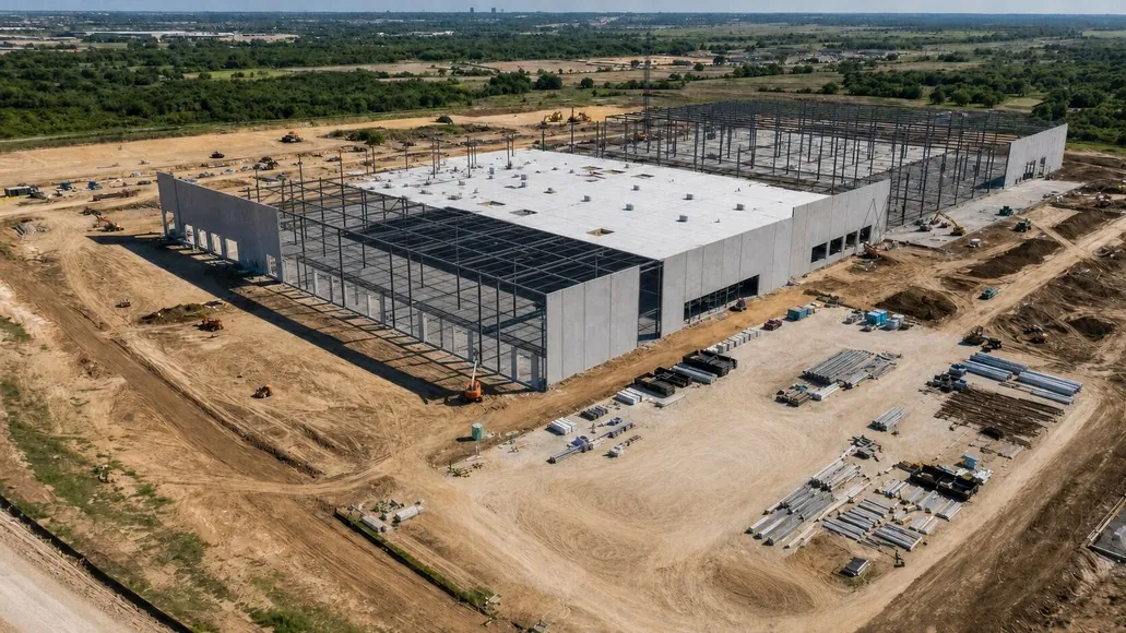
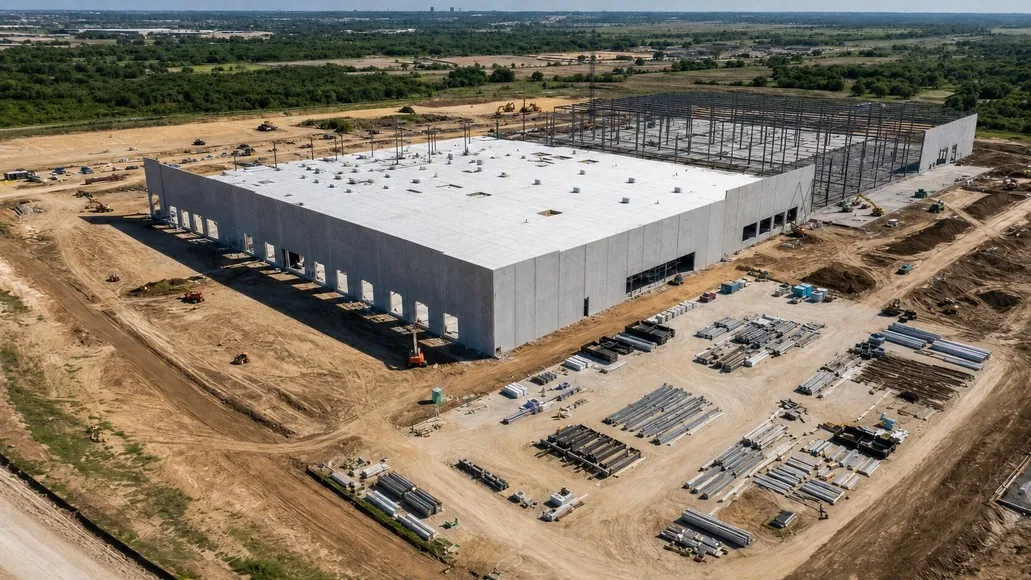
Illustrative sample imagery. Same-view documentation makes visible change easier to review.
Built for project teams
Every recurring plan is built around repeatable capture, organized delivery, and a dependable schedule.
Standard deliverables are provided within 24–48 hours of each completed flight. Same-day rush delivery may be available.
Choose the right cadence
The right interval depends on project velocity, reporting requirements, and stakeholder expectations.
Fast-moving construction, civil work, structural phases, and frequent stakeholder reporting.
Dependable visual updates without a weekly reporting requirement.
Long-duration projects, portfolio oversight, lender updates, and executive reporting.
Groundbreaking, concrete, structure, dry-in, substantial completion, and closeout.
Managing several active projects? Ask about coordinated capture schedules and multi-site pricing.
Help me choose a scheduleSimple and repeatable
One local operator coordinates the approved scope, follows the agreed capture plan, and delivers each visit in a consistent format.
Review the location, reporting goals, deliverables, site contacts, and cadence.
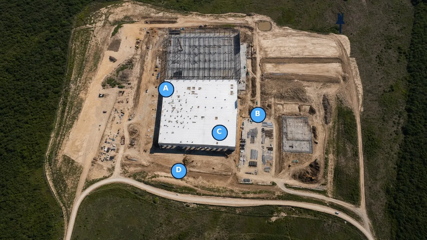
Address access, airspace requirements, safety considerations, and repeatable capture points.
Follow the approved plan so progress can be compared from familiar viewpoints over time.
Files and reports are organized, quality-checked, and delivered within the agreed window.
Optional data products
Progress photography is the foundation. Selected projects can add mapping or 3D deliverables when the scope calls for a broader site record.
Mapping products are scoped separately. Survey-grade work may require ground control, checkpoints, and coordination with a licensed surveyor.
Discuss a mapping requirementWhy Sentinel
Sentinel Aerial Services is a veteran-owned DFW drone company focused on reliable, safety-conscious documentation. Flights are conducted by an FAA Part 107 certified remote pilot, with site coordination and airspace requirements addressed before capture.
That continuity matters when a project is documented over months rather than during a single visit.
Common questions
Clear expectations help every recurring documentation plan run smoothly.
In many cases, yes. Sentinel reviews safe launch and recovery areas, site access, personnel, equipment activity, and airspace conditions with the designated site contact.
If wind, rain, visibility, or another condition prevents the scheduled flight, Sentinel coordinates the next practical weather window.
Yes. Repeatable viewpoints are central to the service, with reasonable adjustments as cranes, structures, access, and site conditions change.
Standard progress deliverables are typically provided within 24–48 hours. Larger mapping or 3D scopes may require additional processing time.
They are optional deliverables or part of a custom recurring plan. The correct approach depends on the site, accuracy needs, and intended use.
No. Sentinel provides visual documentation and aerial data products. Survey-grade or engineering conclusions remain with the appropriate licensed professional.
Yes. Sentinel serves projects across Dallas–Fort Worth and can evaluate other North Texas locations.
Start with a sample
Request the sample report and tell us where your project is located. Sentinel will recommend a practical capture cadence and follow up within one business day.